
Hyattsville was created to benefit from a railroad stop on a new mainline railroad.
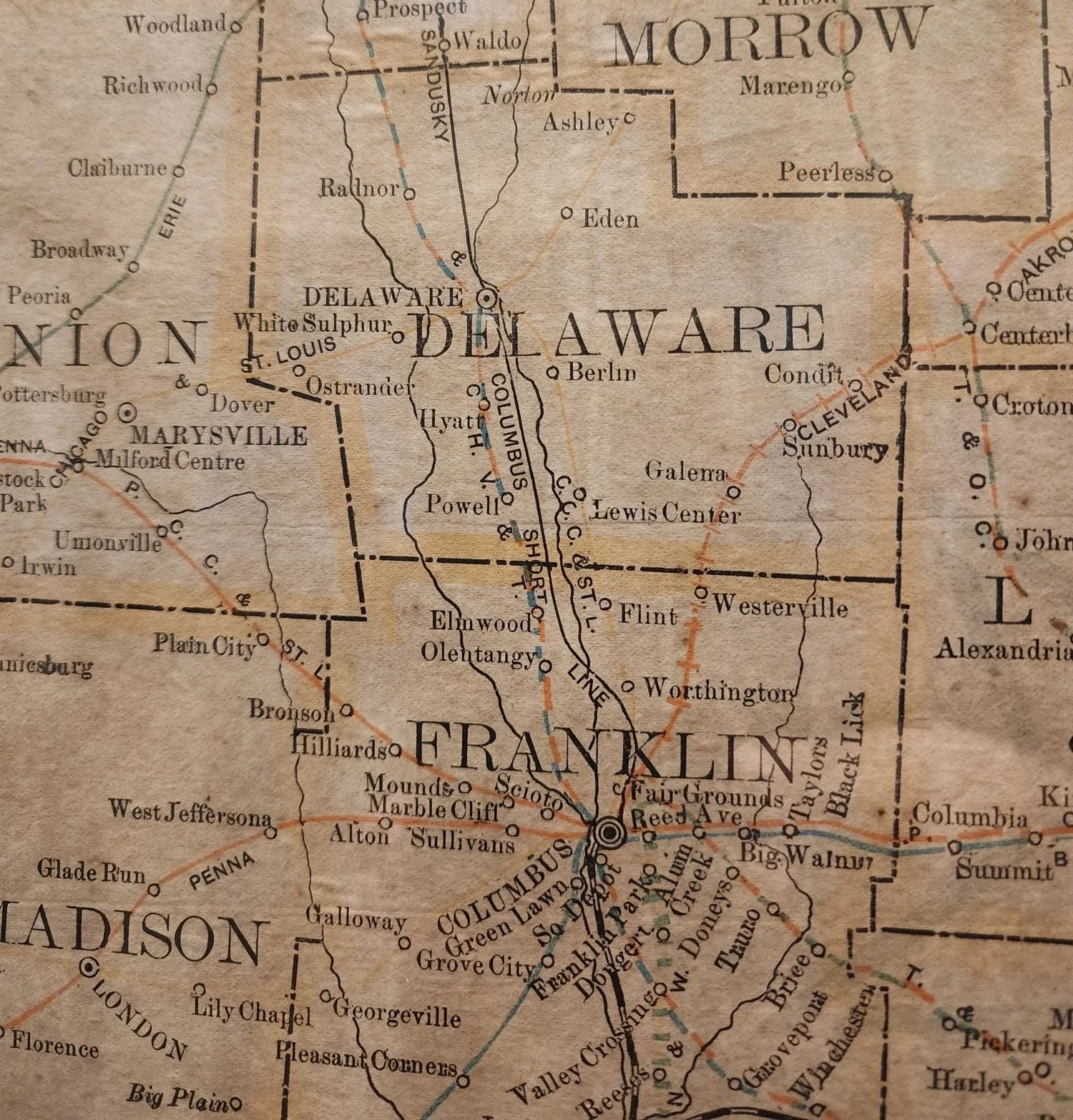
Photo from P. Bingle collection. 1892 Ohio railroad map. Note “Hyatt” between Powell and Delaware.
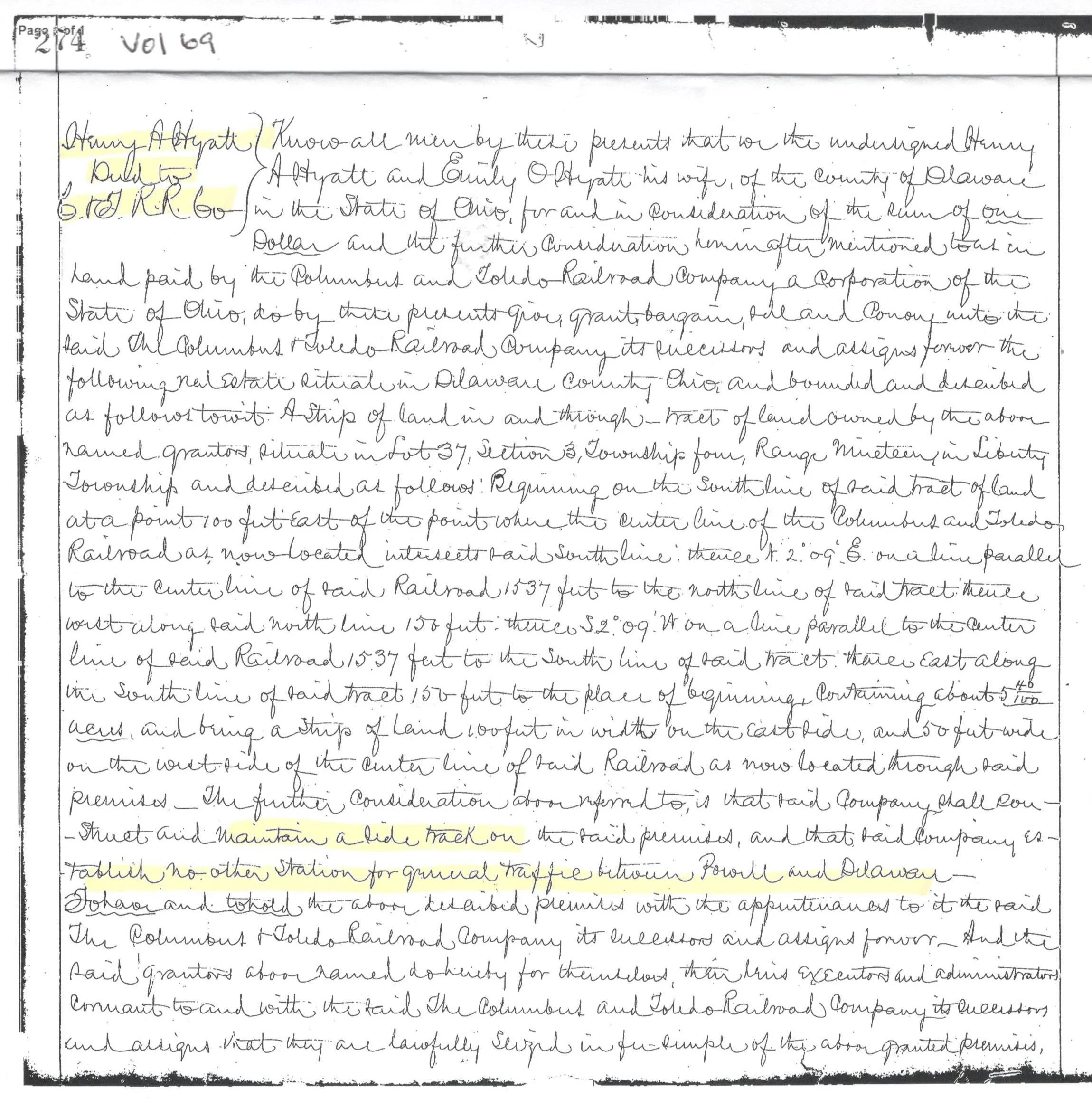

Photo from DCHS. Note that the railroad was built primarily by hand and horse drawn equipment - on pathways mostly cut through remote farm fields.

Delaware County Recorder’s Office deed record Book/Volume 69, pages 274-275, dated 4/12/1876 and recorded 6/20/1876. Hyatt transferring 5.4 acres of land to the “Columbus and Toledo Railroad Company”, the predecessor of the Hocking Valley Railroad and of today’s Chesapeake & Ohio Railroad. The deed prevents the railroad from building any other depot between Powell and Delaware.
Click on elevation map for an easier to read version. Demonstrates the sharp incline from Columbus to the area - necessitating the “Powell Wye” and the water station in Hyatts.


Click on map to see the full map. The larger version is easier to read with its detail down to the location of the “No Trespassing” signs.
A Probable mapping error: Note that the west parcels on the Hocking Valley Railroad map suggest that the parcels are further south (to the left on the above map) than what they are. P. Bingle suspects that the confusion was caused by (1) the later date for when the original plat was amended and (2) that “High Street” on the Plat Amendment was mistakenly drawn to be where Hyatts Road is located.
Backup: The underlying “Range” map has all of the Hyatts activity occurring on original “Lot 37”. Hyatts Road is the southern boundary for Lot 37. All of Hyatts is in fact on the north side of the railroad crossing. Also, compare the County Auditor’s map with the railroad right of way map and it appears that “Out Lot 1” et al, should be further north, closer to the reservoir that is still hidden west of the railroad. West, on these maps, is the top of the two comparative maps. Note that the railroad depot and coal/water facilities appear to be accurately drawn - as they pre-dated the Hyattsville Amendment.
(Credits: Map from P. Bingle’s railroad right of way drawings for the rail line between Columbus and Toledo, created and maintained by the Hocking Valley Railroad in the early 1900s; the maps being a part of the achieves of the C&O Historical Society.)
Versus…

11/14/2024 Hyattsville parcel map from the Delaware County Auditor.
Note that all of Hyattsville, the original 1877 plat and the amended 1879 plat, are located north of present day Hyatts Road, all being in Lot 37, Section 3, Township 4, Range 19, United States Miliary Land in Delaware County. Ohio. The southside of Hyatts Road in in a different Lot/Section.
The Chesapeake Railroad utilized “Chessie” the cat in its advertisements in the 1930s - 1949s


Photos Provided by the Chesapeake and Ohio Historical Society

1879: Hocking Valley Railroad (HV) Passenger Train
1906: HV Pullman Baggage Car

1912: HV Coach Car Interior

1926: HV Parlor Car Interior

1951: Coupled Engines Running to the Powell Hill from Lane Ave
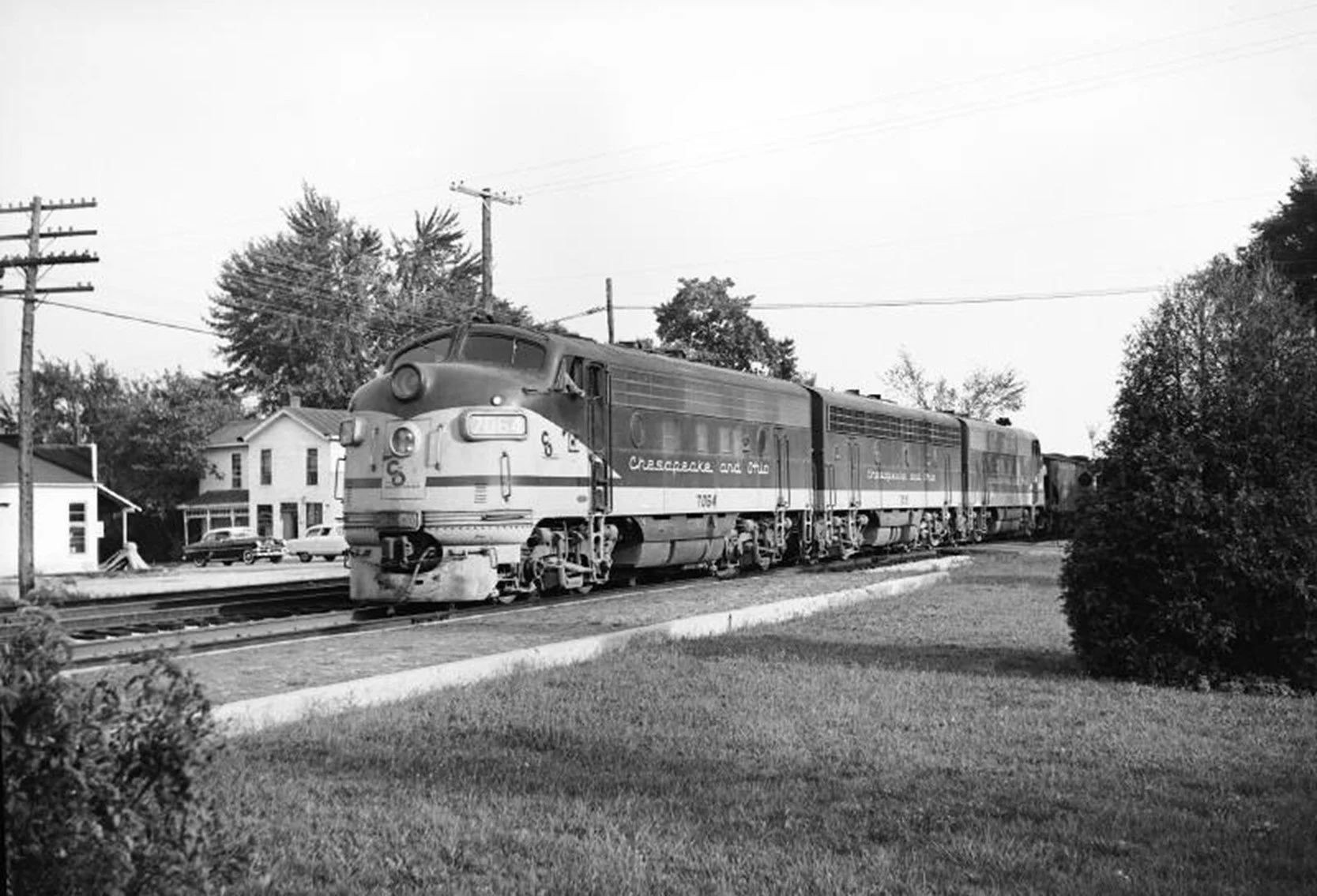
1955: Northbound diesel engine Crossing SR 161 in Linworth

1899: HV Passenger Train (elsewhere in Ohio)
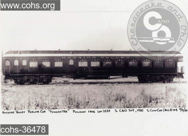

1906: HV Pullman Parlor Car
1912: HV Coach Car Exterior
(as a stained-glass collector, PB’s favorite)
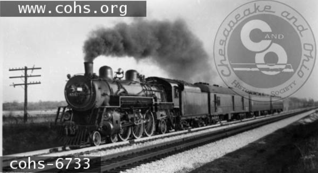

1932: Passenger Train Between Powell and Hyatts.
1982: Remnants of the Powell Wye North of Rutherford Road

1950’s: Allegheny class locomotive headed north towards Hyatts


1899: HV Box Car
1912: HV 83 seat Coach Car
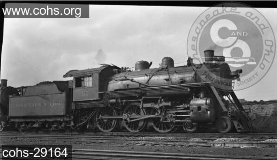
1926: Converted HV Locomotive

1948: Powell Station Water Storage Tank and Water Treatment Building. The C&O drawings for the Hyatts station indicated that a similar set of facilities was alongside the east tracks, connected to the still existing ponds.

1980: Delaware Depots Before They Were Torn Down

1908: HV Powell Depot with passenger awaiting